
What is Live Earth Map: GPS Satellite?
Live Earth Map: GPS Satellite lets you explore the globe with live satellite views and robust navigation features.
My first impression? The sheer detail of the stunning 3D earth visuals immediately grabbed me. I’ve used many map apps, but this one felt genuinely different. It wasn’t just static images; the world felt alive, almost tangible. What really surprised me was the inclusion of live 360-degree cameras for famous landmarks. It’s one thing to see a picture, another to virtually stand there, looking around. Does it make you feel like a digital tourist? Absolutely.
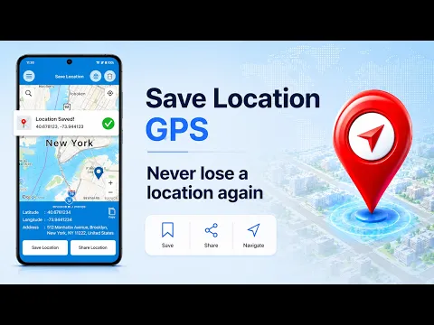
Planning a trip or just curious about your surroundings? This app delivers. We used the traffic map to find optimal routes, easily sidestepping unexpected jams with real-time traffic updates. It’s a practical tool for daily commutes or longer journeys. Unlike generic map tools that only show static routes, Live Earth Map: GPS Satellite brings the road conditions to life. The GPS camera also lets you geo-tag your memories, embedding precise location data directly into your photos – a neat touch for travelers and adventurers alike. Need to know if it’s safe to go for a run? You can even monitor local air quality in your city, a thoughtful addition for health-conscious users.
Here’s what you get:
- Live Earth 3D: Explore the world with realistic, dynamic 3D satellite views.
- Live Camera 360: Virtually visit famous places through interactive 360-degree camera feeds.
- Traffic Map: Plan efficient routes with accurate, real-time traffic condition updates.
- GPS Camera: Capture photos with embedded location tags for easy geo-referencing.
- Air Quality Monitor: Check local air quality index to inform your outdoor activities.
Why settle for flat maps when you can experience the world in vivid detail? See your next destination, check the traffic, or simply wander virtually.


Share your experience with other users.