What is Earth Map: Live Satellite View?
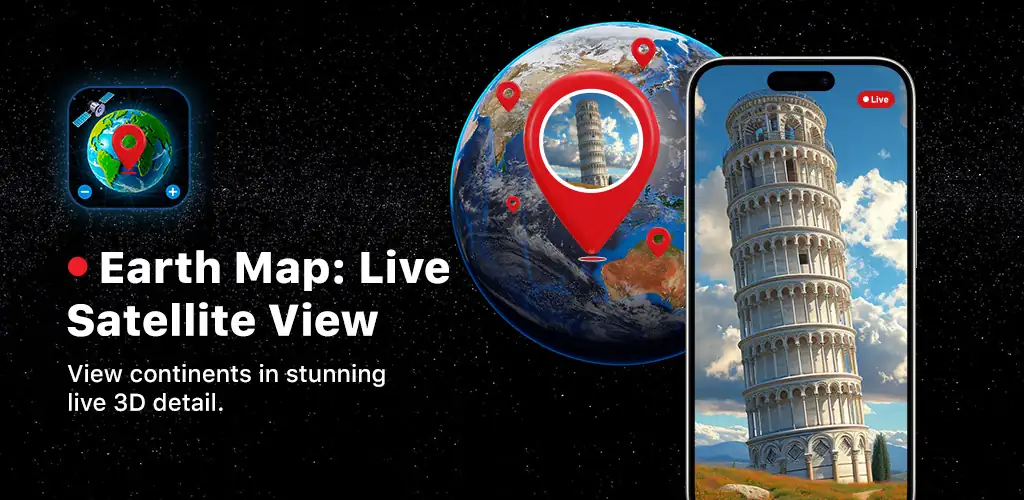
Most navigation apps give you turn-by-turn directions and call it a day. Earth Map: Live Satellite View is a satellite map navigation tool that zooms out and shows you the entire planet as a rotatable 3D model, then drops you into street-level views when you need practical routing.
You get a live HD render of the Earth that tilts, spins, and zooms from orbit down to individual streets. Traffic overlays show congestion in real time so you can plan routes before leaving. The speedometer tracks your current speed whether you're in a car, on a bike, or riding transit, and the compass orients you when you're navigating unfamiliar areas on foot. Share your exact coordinates, street name, and address with others without switching apps.
The highlights:
- The 3D Earth model lets you rotate and zoom from orbit-level views down to city streets and landmarks
- Real-time traffic overlays on roads and highways help you avoid congestion before you hit it
- The trip history log captures speed, duration, and distance for every route you take
- A digital compass keeps you oriented when exploring new cities or hiking trails
- Share your live coordinates including latitude, longitude, and current street name with contacts
Trip tracking and speed monitoring
The My Tracks feature logs every route automatically. Once you finish a trip, you can review the full path, how fast you were moving at different points, and how long the journey took. The real-time speedometer works across transport modes so you get accurate readings whether you're driving, cycling, or on a bus. Location sharing sends your current address and coordinates to others instantly, useful for meetups or coordinating arrivals.
Other satellite map navigation apps
Google Maps offers comprehensive global navigation with public transit integration and business reviews. Waze focuses on community-driven traffic alerts and route optimization for drivers. Earth Map: Live Satellite View centers on the satellite visualization layer, giving you the orbital view and 3D exploration before you commit to a specific route.
Earth Map: Live Satellite View suits travelers who want to scout locations visually before heading out, commuters tracking their regular routes, and geography enthusiasts exploring landmarks remotely. It contains advertisements and requires an active internet connection for live satellite imagery and traffic data.



Share your experience with other users.